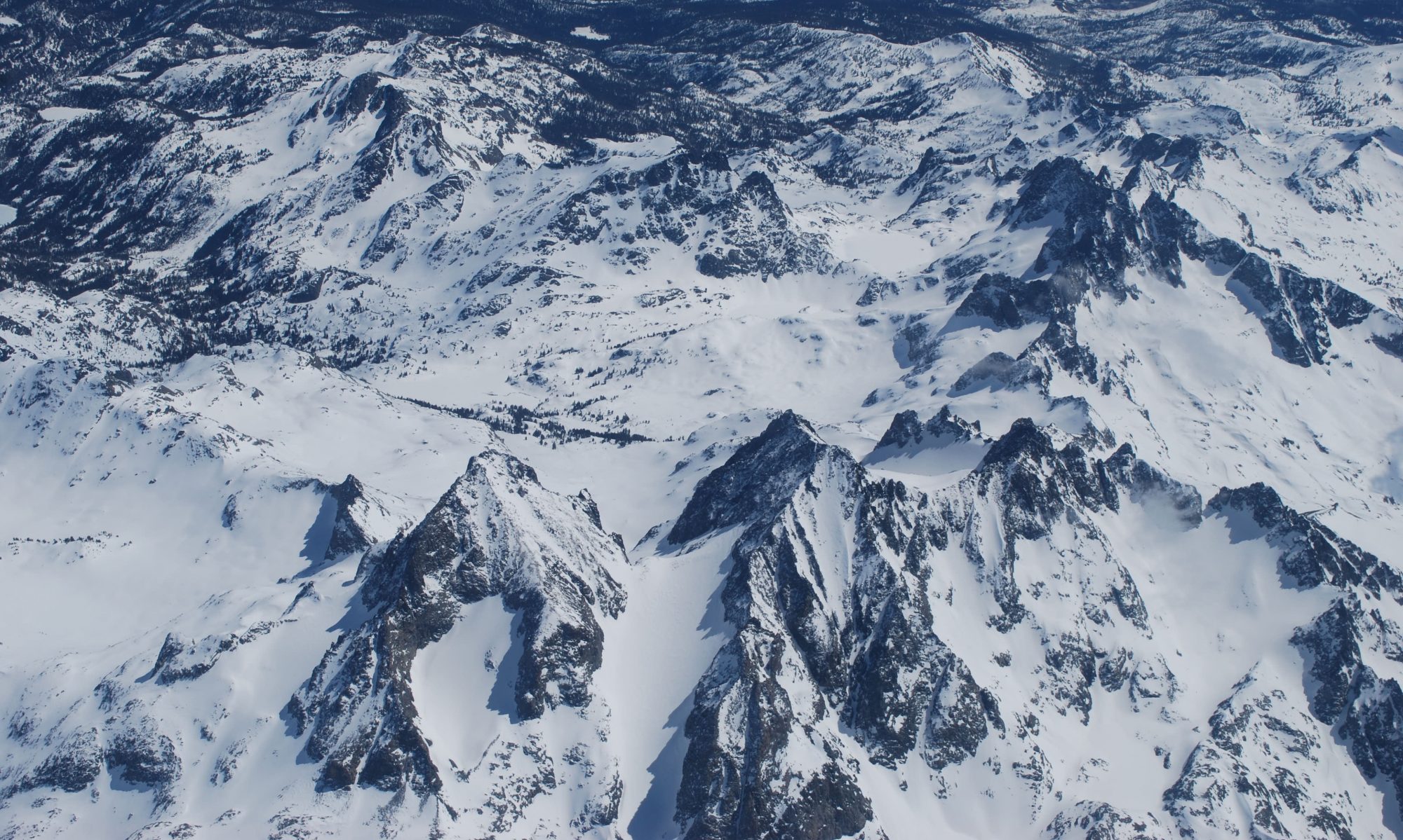
We specialize in snowmelt dominated hydrologic systems because in the Western US seasonal snowmelt is the single largest contributor to surface water supply and groundwater recharge.
Monitoring methods
- Weather, snow, and stream monitoring instrumentation
- Satellite, airborne, and/or drone remote sensing
- Hydrologic modeling
Water Supply Monitoring
Snowmelt Timing and Magnitude
Leveraging existing infrastructure or through new data collection, we can combine field observations, remote sensing, and hydrologic/land surface modeling for historic or current water supply monitoring.
Here we show maps of snow depth change over time from a spatially distributed snow energy balance model. The process based snow model was run at 10 m resolution over a mountain basin in Colorado. The two panels show outputs from two different model runs, which were used to assess the impact on snowmelt timing and magnitude following snow darkening due to dust deposition.
The snowmelt model is forced with either data from instrumentation within and around the basin of interest, or with outputs from a weather forecasting model. To model the fate of produced snowmelt the model can be further coupled with a hydrologic routing or land surface model.
Contact Us
info@contourgroupconsulting.com
