Imagery is invaluable for a range of applications from natural resource management to real estate. We have you covered whether you are interested in imaging a hard-to-reach or hard-to-view place, characterizing surface properties, or change detection.
A range of imagery applications
- Custom and on demand aerial imagery
- Surface elevation and land cover mapping
- Change and volume assessment


Remote Sensing and UAV Imagery
Mapping Mountains
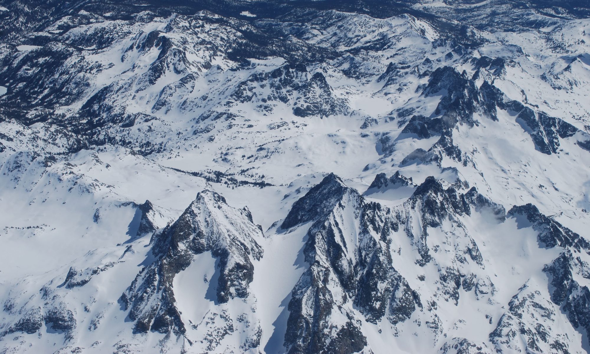
This portion of the San Juan Mountains, which encompasses the Senator Beck Basin off of Red Mountain Pass in Southwestern Colorado, was reconstructed in 3D using photogrammetry and overlapping imagery collected from NASA-JPL’s Airborne Snow Observatory. The aerial images were processed using Structure-from-Motion, a state of the art photogrammetric method that produces both a high resolution orthomosaic image and a digital elevation model (DEM) of the surface. In this example, the imagery and DEM resolution were < 1 m. Imagery compliments of the Airborne Snow Observatory, collected as a part of the NASA SnowEx campaign.

Mapping Landscapes
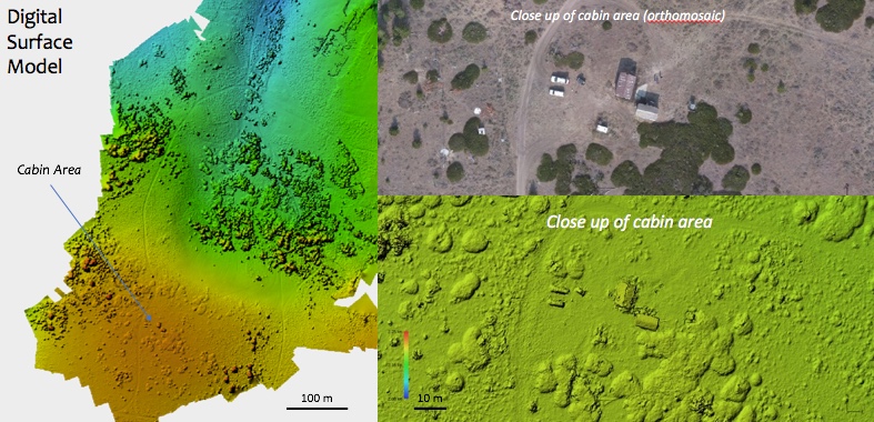
This portion of the Reynolds Creek Experimental Watershed (Reynolds Mountain East) in the Owyhee Range, ID was mapped at very high resolution using photogrammetry and overlapping images from a UAV. Also processed using Structure-from-Motion, the output digital elevation model (DEM) resolution was less than 10 cm and the imagery resolution was less than 5 cm. High resolution elevation models and imagery are valuable for a range of applications, and when using UAV’s they can be mapped on demand and for a fraction of the cost of collecting airborne imagery, or lidar.
Contact Us
info@contourgroupconsulting.com
