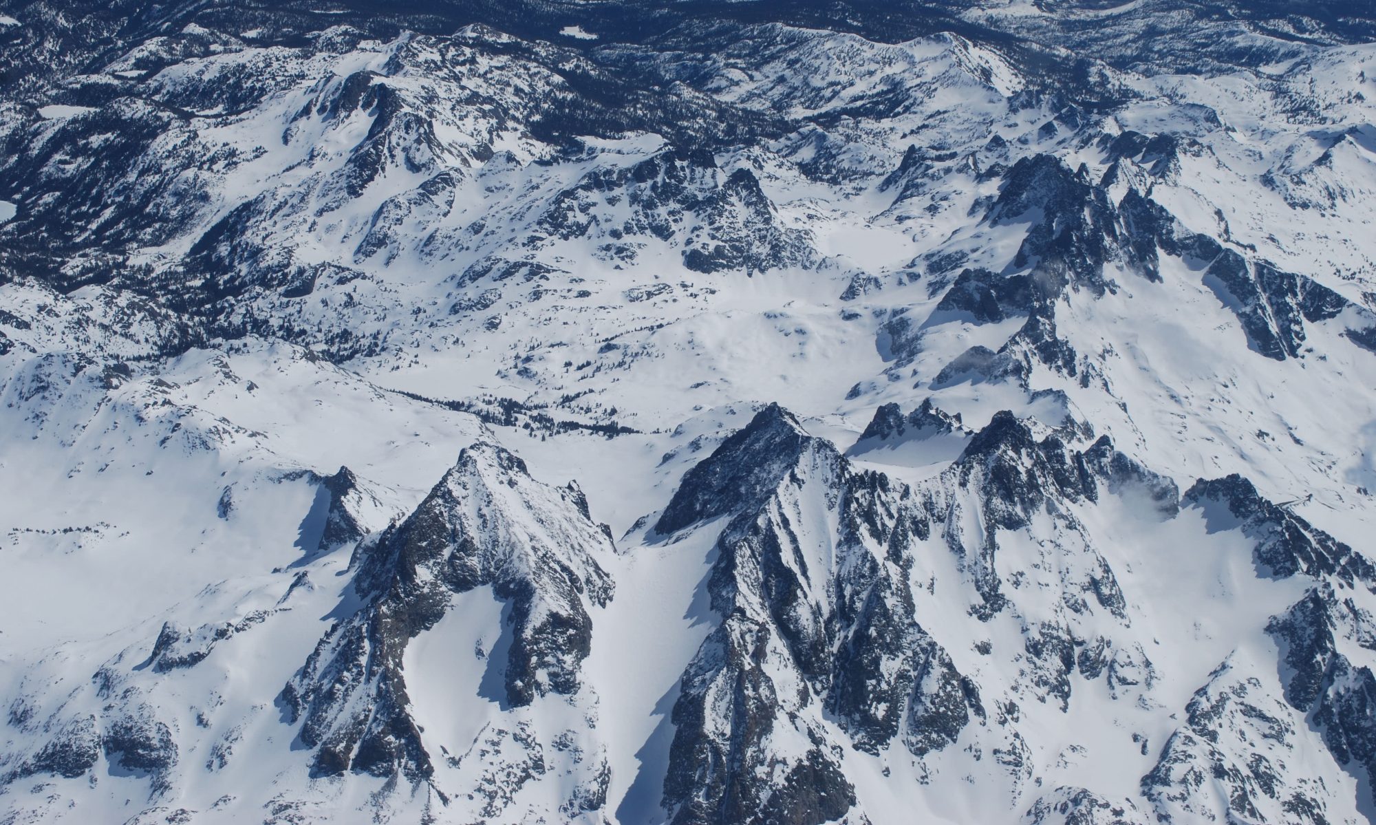
Our team has over ten years experience working with mountain weather, avalanche forecasting, snow hydrology, and remote sensing. From mapping and imagery acquisition to avalanche hazard assessments, Contour Group has you covered for your planning and assessment needs in mountainous regions.

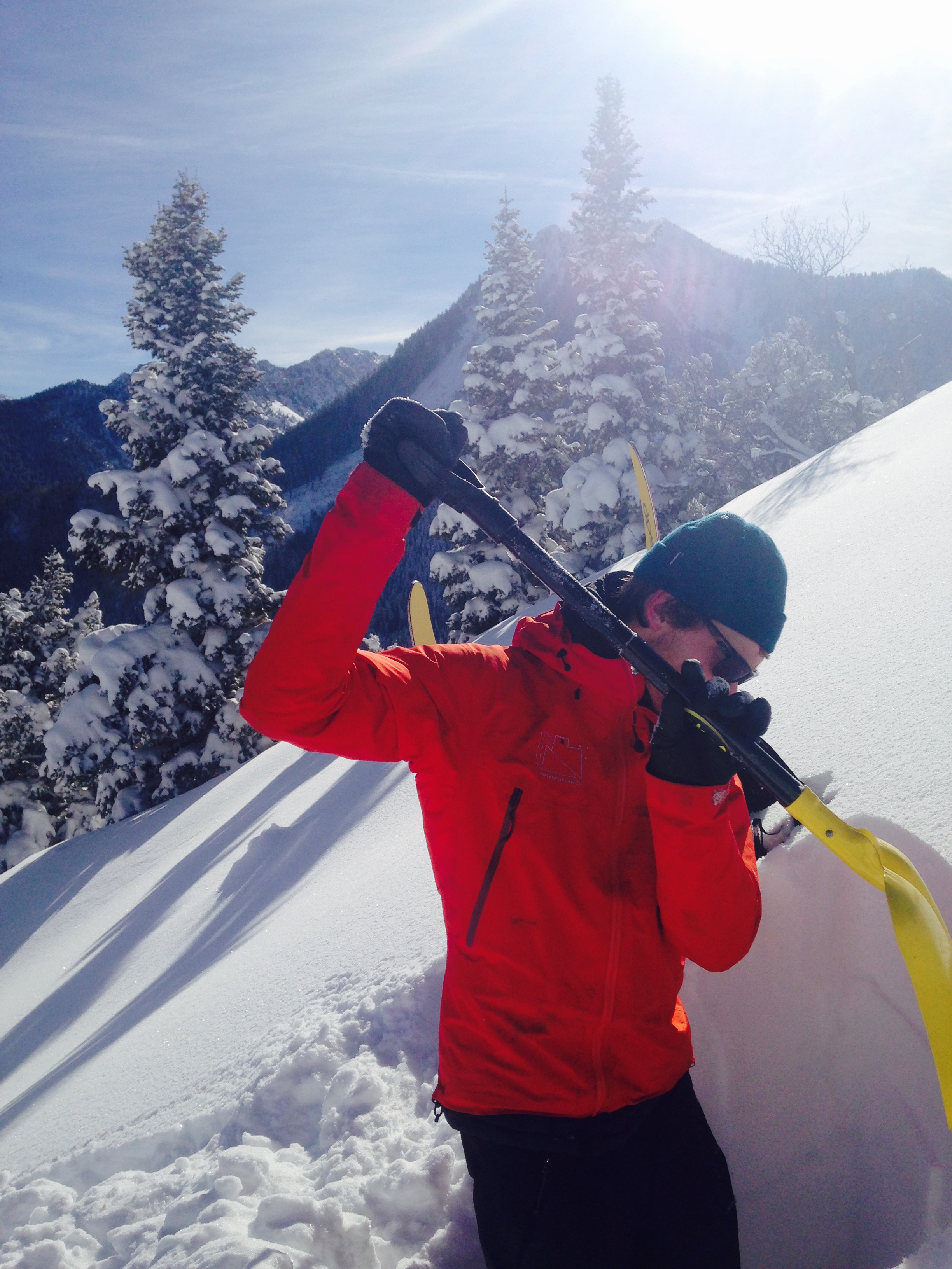
Steven clark, ms
Steven has been an avalanche professional since 2012, specializing in transportation avalanche forecasting, instrumentation, geographic information systems (GIS), and recreational/professional avalanche education. Steven grew up skiing as much as possible, which helped spark his interest in snow and avalanches. He received his MS degree in transportation avalanche risk management from the University of Utah, where he also earned a GIS certificate, a BS degree in GIS, and a BS degree in Atmospheric Sciences.

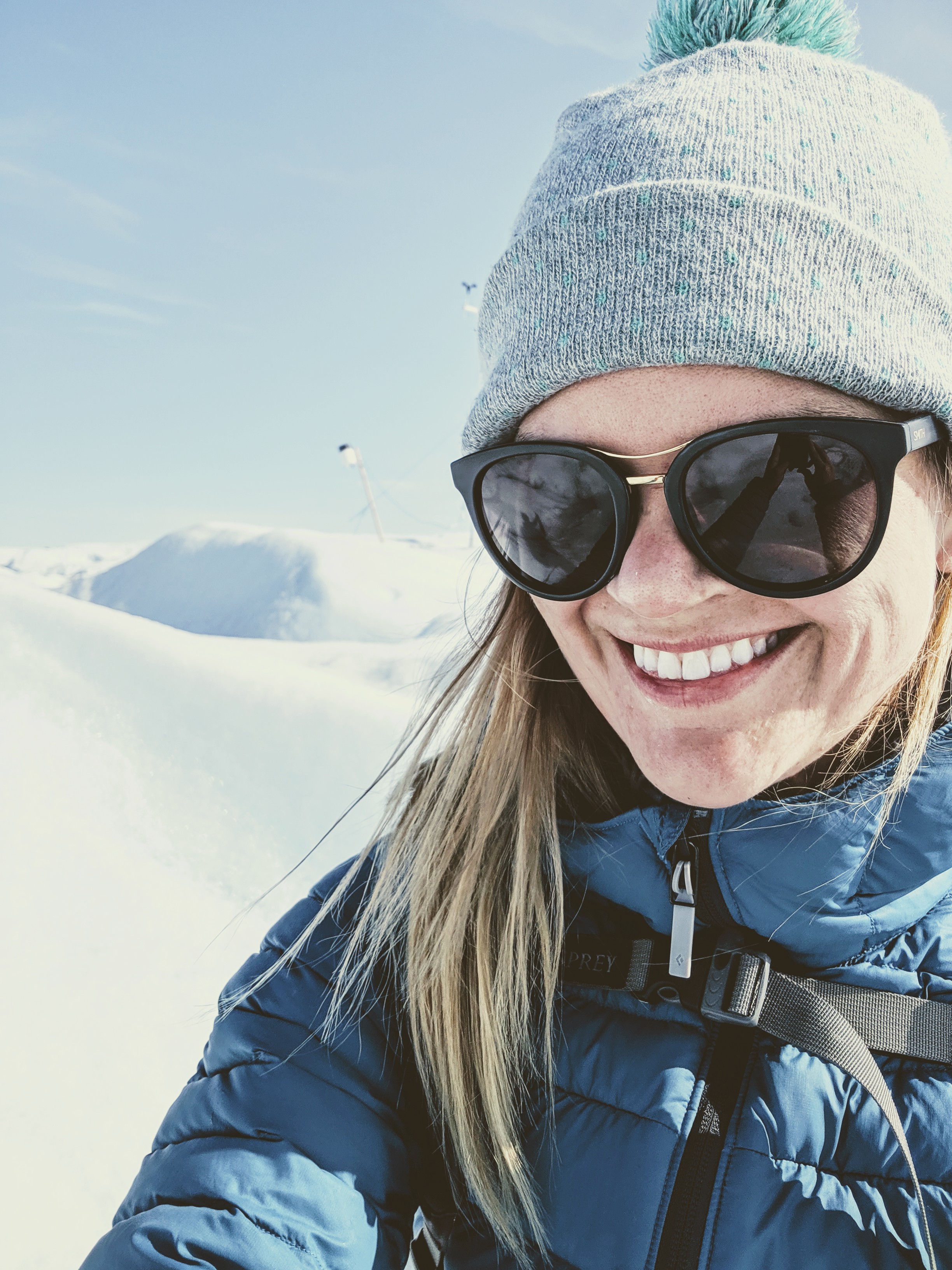
S. MCKENZIE SKILES, Phd
McKenzie brings expertise in remote sensing, geographic information systems (GIS), spatial analysis, and mountain system modeling to Contour Group. She has over ten years experience as a snow hydrologist, applying a range of methods to observe and model controls on snow melt timing and magnitude, and water flow through alpine watersheds. She specializes in field observations, in situ monitoring, and remote sensing techniques, including lidar, imaging spectroscopy, and photogrammetry. McKenzie has BS & MS degrees in Geography, a BS in Environmental Studies, and a GIS certificate from the University of Utah and a PhD in Geography from UCLA.
